Agriculture
We perform agricultural mapping such as crop health monitoring, plantation inventory, soil variability assessment, and yield estimation using drone multispectral imagery, UAV photogrammetry, remote sensing, and GIS-based spatial analytics to support smarter farming decisions.
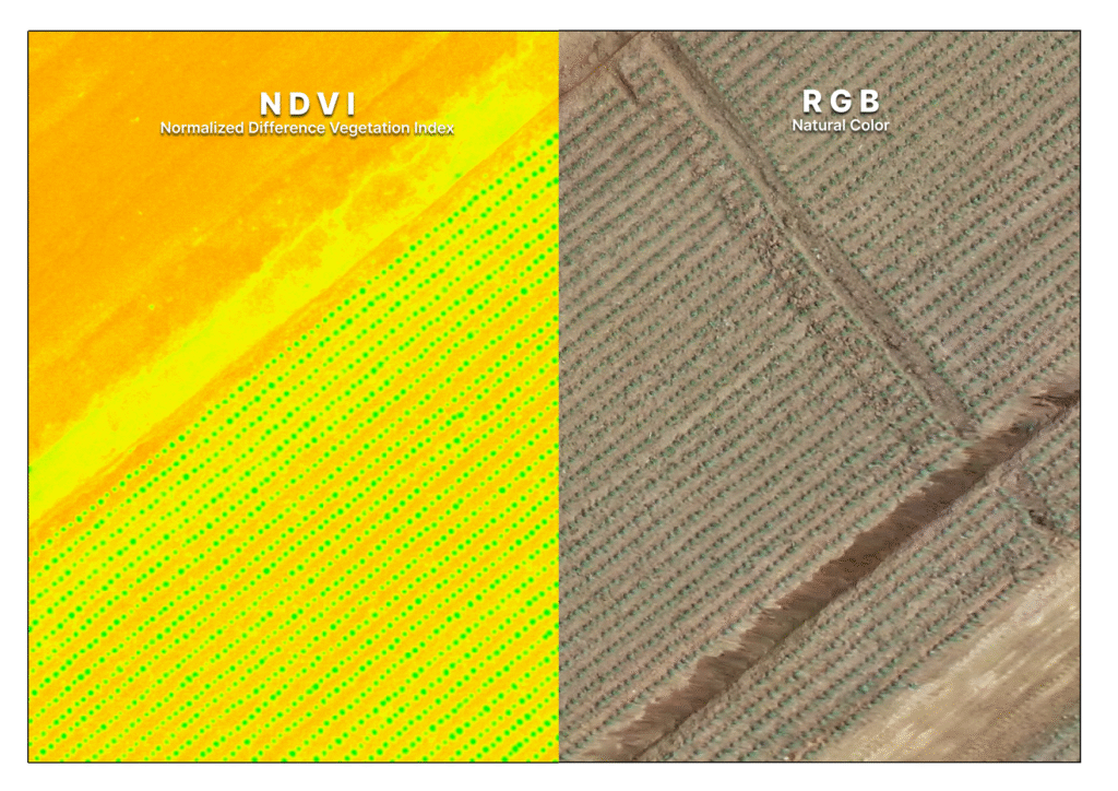
Vegetation Health
Vegetation health analysis is the assessment of plant vitality using multispectral or hyperspectral imagery. It is used to monitor crop stress, detect nutrient deficiencies, identify disease early, and optimize farm management decisions
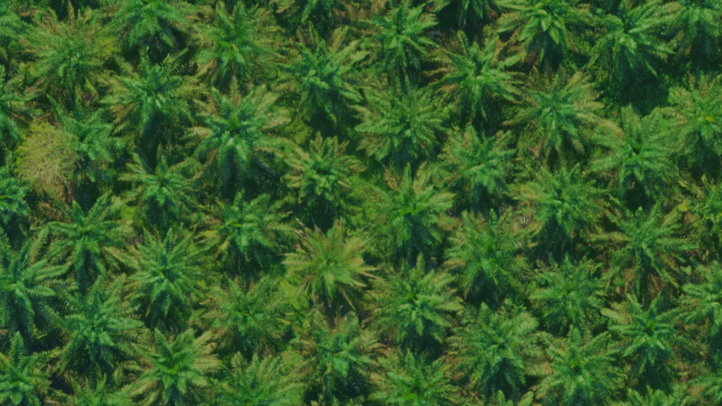
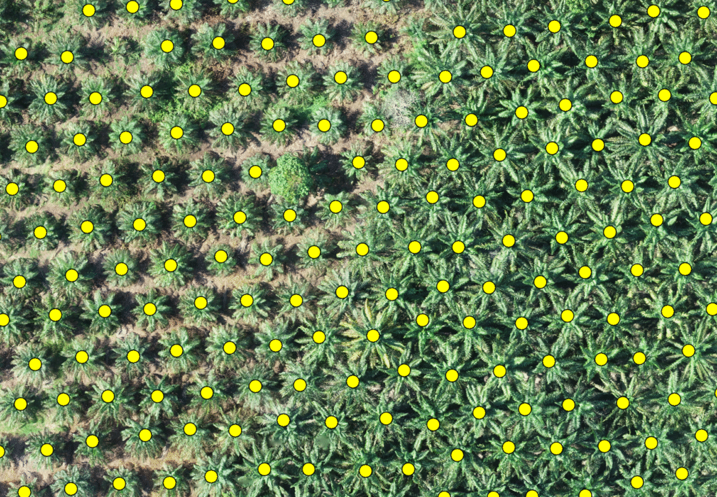
Palm Oil Tree Counting
Palm oil tree counting uses drone imagery with automated detection algorithms to accurately identify and count individual trees. It is used for plantation inventory, productivity analysis, and planning replanting strategies with reliable spatial data
Carbon Stock Estimation
asd
Satellite Approach
asd