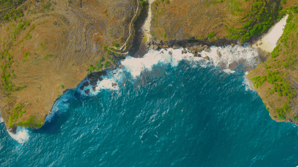
Hydrography
Our hydrographic services include bathymetric mapping, shoreline surveys, sediment analysis, and detection of underwater features using Multibeam Echosounders, Singlebeam Echosounders, Side Scan Sonar, Sub-Bottom Profilers and Magnetometers.
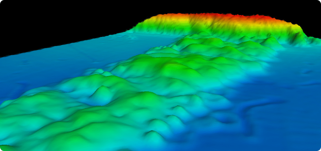
Bathymetry
Bathymetry is the measurement of water depth and the mapping of the seafloor’s shape. It is used to support safe navigation, coastal engineering, dredging planning, and understanding underwater terrain for various marine development projects
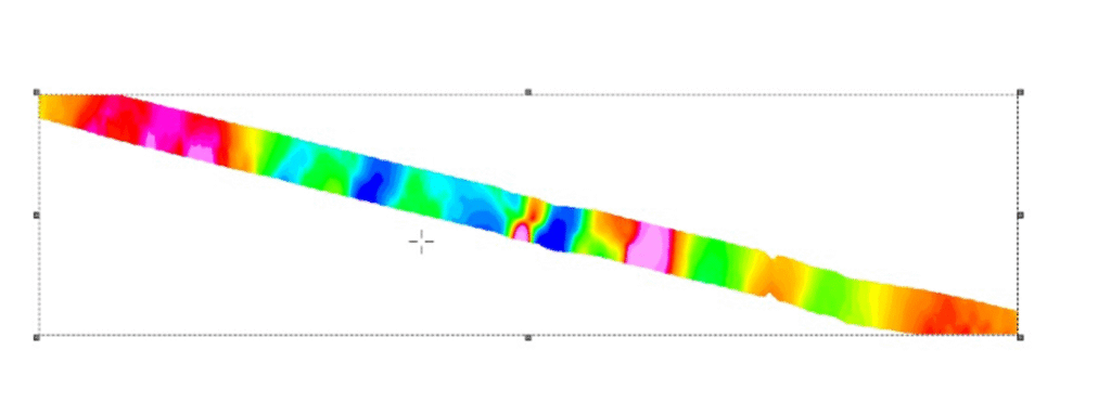
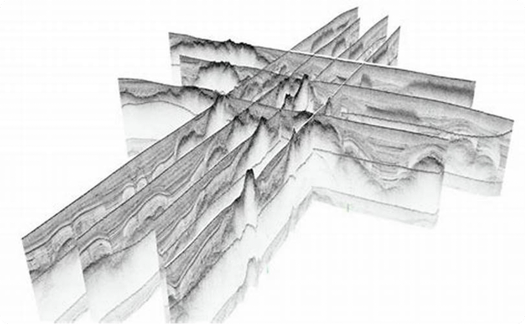
Sub-Bottom Profiller
A sub-bottom profiler is an acoustic instrument that penetrates below the seabed to reveal subsurface sediment layers. It is used to analyze geological structures, measure sediment thickness, detect buried objects, and support geotechnical and environmental assessments
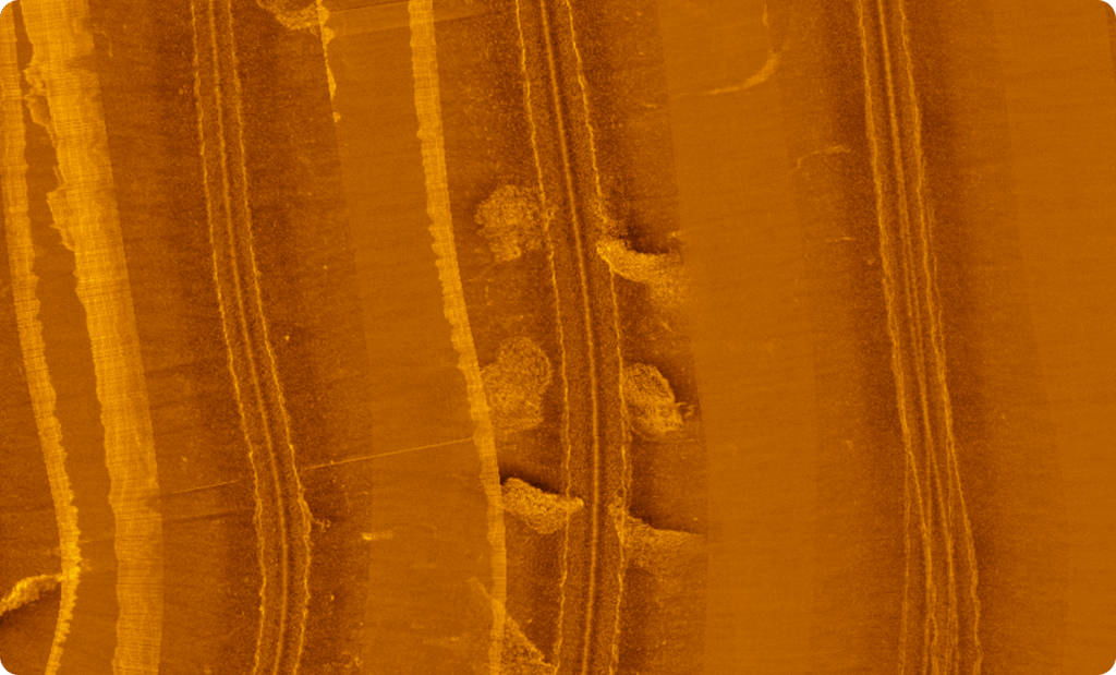
Side Scan Sonar
Side Scan Sonar is a sonar system that produces detailed images of the seabed surface. It is widely used for identifying underwater features, locating debris or wrecks, inspecting pipelines and cables, and conducting habitat mapping with high-resolution imagery
Magnetometer
A magnetometer is a sensor that measures variations in the Earth’s magnetic field to detect ferrous metal objects underwater. It is used for locating UXO, pipelines, anchors, shipwrecks, and other buried metallic targets in marine environments.