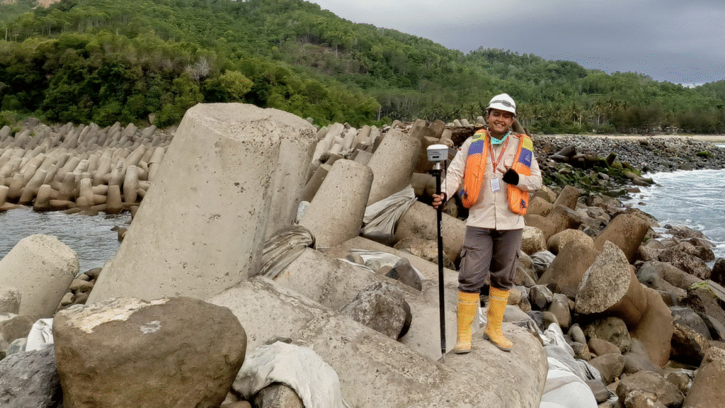
Topography
We conduct detailed topographic surveys including contour mapping, boundary measurement, construction staking, and terrain modeling using LiDAR, Total Stations, and RTK GNSS to ensure high accuracy land data
Topographic LiDAR
Topographic LiDAR is a laser-based surveying method that captures dense elevation points across the terrain from drones or airborne platforms. It is used to create highly accurate digital elevation models, map complex landscapes, support engineering design, and analyze terrain features even under vegetation cover.
Boundary Measurement
asd
Application
asd