Our Services
We offer a full range of surveying mapping and exploration services using the latest technology and field-proven expertise to support your project from planning to completion.
")
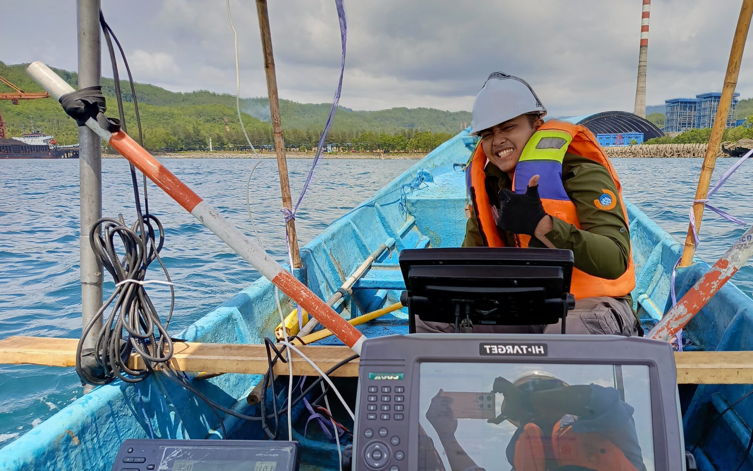
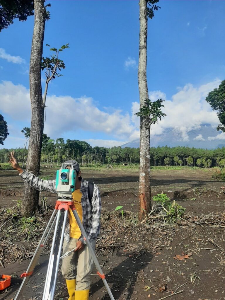
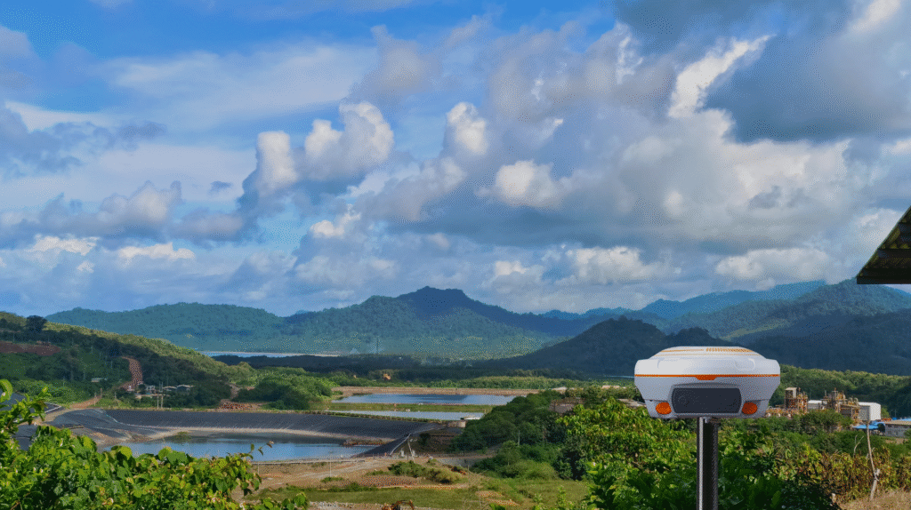
Geodetic Survey
We utilize modern equipment such as drones, GNSS RTK, total stations, and bathymetric sonar for efficient and accurate surveys
")
Geophysics Survey
We utilize modern equipment such as drones, GNSS RTK, total stations, and bathymetric sonar for efficient and accurate surveys
")
GIS Analyst
We utilize modern equipment such as drones, GNSS RTK, total stations, and bathymetric sonar for efficient and accurate surveys
Advantages of Using Us
Precision. Expertise. Speed. That’s what makes us the right partner for your geospatial projects.

Accurate and Reliable Data
We deliver geospatial data with high precision, ensuring the results meet technical and legal standards.

Experienced and Professional Team
Our surveyors and GIS analysts have years of field experience and are committed to delivering the best solutions.

Latest Technology
We utilize modern equipment such as drones, GNSS RTK, total stations, and bathymetric sonar for efficient and accurate surveys

Customized Solutions
We understand that every project is unique, so we tailor our services to match your specific needs and goals.
What is Geofriend Survey?
Purus fringilla conubia cubilia eros laoreet ex accumsan ut cursus. Laoreet at elit augue dapibus morbi dictumst et aliquet. Euismod risus quam montes id hendrerit laoreet commodo vulputate suscipit dis vitae. Ligula iaculis turpis per elit hendrerit dictum non.

Strategic Approach
Client-Centric Focus
Collaborative Partnership
Why Choose AgencyFlow?
Vehicula egestas tempor aptent etiam fames ut integer montes potenti inceptos ornare semper
Design innovation
Suspendisse sollicitudin iaculis lectus fringilla litora maximus curae felis justo parturient semper
Learn More
Marketing Solutions
Suspendisse sollicitudin iaculis lectus fringilla litora maximus curae felis justo parturient semper
Learn More
Digital Solutions
Suspendisse sollicitudin iaculis lectus fringilla litora maximus curae felis justo parturient semper
Learn More
Embark On Your Journey Join AgencyFlow Today
Leo cubilia vehicula ex donec maecenas fusce quam arcu himenaeos habitant nec iaculis mi habitasse dui elementum ut
Testimonials From Satisfied Users
Vehicula egestas tempor aptent etiam fames ut integer montes potenti inceptos ornare semper
“Dictumst turpis potenti fringilla mi lorem dapibus suspendisse senectus ligula rhoncus neque eros dictum nunc himenaeos justo per phasellus platea”

Alexandra R.
Project Manager
“Dictumst turpis potenti fringilla mi lorem dapibus suspendisse senectus ligula rhoncus neque eros dictum nunc himenaeos justo per phasellus platea”
Alexandra R.
Project Manager